
Source: Bureau of Meteorology
Issued at 12:23 pm EST on Saturday 30 March 2024
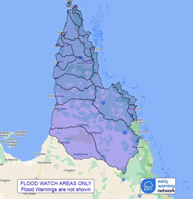
Flood Watch Number: 19
ELEVATED RIVER LEVELS CONTINUING ACROSS CAPE YORK PENINSULA
Showers and thunderstorms will continue for several days with
isolated moderate falls.
Catchments within the Flood Watch area are relatively wet. Many
rivers and creeks are elevated following recent rainfall, and are
expected to respond quickly to further rainfall.
Localised rainfall is forecast for catchments across the Cape York
Peninsula over the next few days.
Elevated river levels are likely to continue for the next few days
across catchments on the Cape York Peninsula.
Localised flooding, isolation of communities and disruption to
transport routes are possible within the Flood Watch area over the
next few days.
Catchments likely to be affected include:
Jardine River
Ducie, Jackson and Skardon Rivers
Wenlock River
Embley and Mission Rivers
Watson River
Archer and Coen Rivers
Holroyd and Kendall Rivers
Coleman and Edward Rivers
Mitchell River(Including Magnificent Creek - Kowanyama)
Staaten River
Jacky Jacky Creek
Olive and Pascoe Rivers
Lockhart River
Stewart River
Normanby River(Including the Laura River)
Jeannie River
Endeavour River(Including the Annan River)
See www.bom.gov.au/qld/warnings to view the current flood, weather
and cyclone products for Queensland.
For more information on the Flood Watch Service:
http://www.bom.gov.au/water/floods/floodWarningServices.shtml
Flood Safety Advice:
This Flood Watch means that people living or working along rivers
and creeks should monitor the latest weather forecasts and
warnings.
Remember: If it's flooded, forget it.
For flood emergency assistance contact the SES on 132 500.
For life threatening emergencies, call Triple Zero (000)
immediately.
Current emergency information is available at
www.qld.gov.au/alerts.
This advice is also available by dialling 1300 659 219 at a low
call cost of 27.5 cents, more from mobile, public and satellite
phones.
Warning, rainfall and river information are available at
www.bom.gov.au/qld/flood/
Rainfall and River
Conditions Map
30/Mar/2024 02:40 AM


