
Source: Bureau of Meteorology
Issued at 1:38 pm EST on Tuesday 16 April 2024
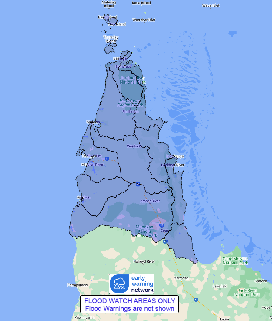
Flood Watch Number: 1
FLOODING POSSIBLE ACROSS NORTHERN CAPE YORK PENINSULA FROM
THURSDAY
A moist easterly flow may combine with a slow-moving trough to
produce heavy rainfall across the northern Peninsula over the next
several days.
Catchments within the Flood Watch area remain relatively wet from
rainfall recorded last week, and are wetting up from recent
rainfall recorded on Tuesday.
Widespread daily rainfall totals of 100 mm to 200 mm are possible
north of Coen, particularly from Thursday, with the risk of heavy
rainfall continuing through the weekend.
River level rises and riverine flooding are possible within the
Flood Watch area from Thursday and across the weekend. Many low
level road crossings and causeways are likely to become inundated
by this flooding, which may impact transport routes across Cape
York Peninsula.
Catchments likely to be affected include:
Jardine River
Ducie, Jackson and Skardon Rivers
Wenlock River
Embley and Mission Rivers
Watson River
Archer and Coen Rivers
Jacky Jacky Creek
Olive and Pascoe Rivers
Lockhart River
Stewart River
See www.bom.gov.au/qld/warnings to view the current flood, weather
and cyclone products for Queensland.
For more information on the Flood Watch Service:
http://www.bom.gov.au/water/floods/floodWarningServices.shtml
Flood Safety Advice:
This Flood Watch means that people living or working along rivers
and creeks should monitor the latest weather forecasts and
warnings.
Remember: If it's flooded, forget it.
For flood emergency assistance contact the SES on 132 500.
For life threatening emergencies, call Triple Zero (000)
immediately.
Current emergency information is available at
www.qld.gov.au/alerts.
This advice is also available by dialling 1300 659 219 at a low
call cost of 27.5 cents, more from mobile, public and satellite
phones.
Warning, rainfall and river information are available at
www.bom.gov.au/qld/flood/
Rainfall and River
Conditions Map
16/Apr/2024 03:53 AM


