
Source: Bureau of Meteorology
Issued at 11:40 am ACST on Saturday 31 January 2026 Flood Watch
Number: 2
RIVER LEVEL RISES AND FLOODING POSSIBLE IN THE FLOOD WATCH
AREA
Tropical Low 18U is located near the eastern base of the Top End
within a broad trough that extends across the base of the Top End.
The tropical low is likely to track westwards across the base of
the Top End during the weekend. This may bring widespread rainfall,
with heavy falls possible in parts of the Flood Watch area.
Uncertainties remain over the movement of the tropical low and this
will impact which areas see the heaviest rainfall.
Catchments are moderately wet in the Flood Watch area after recent
rainfall.
River level rises, localised flooding, and overland inundation are
possible in parts of the Flood Watch area, which may affect road
access. Some communities may become isolated. Check road conditions
before travelling.
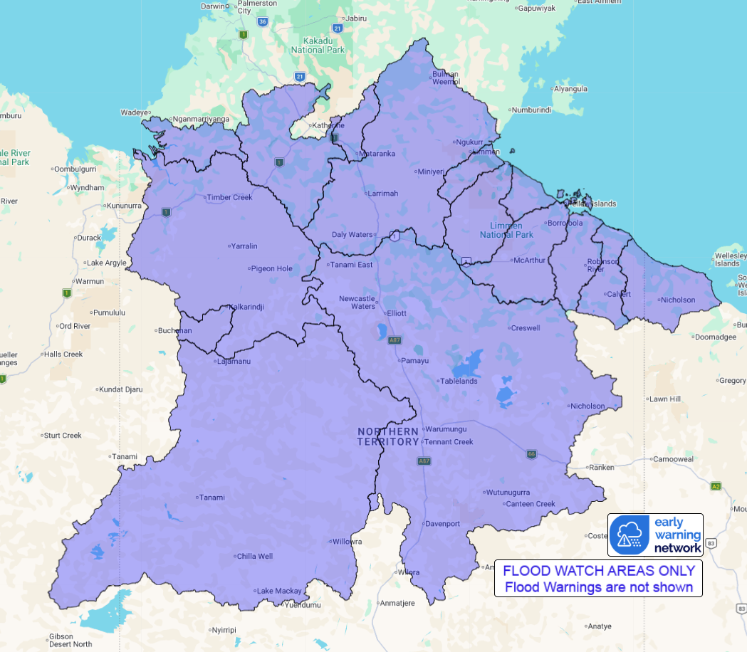
Catchments likely to be affected include:
Upper Victoria River
Victoria River below Kalkarindji
Fitzmaurice River
Daly River above Douglas River
Waterhouse River
Roper River
Towns River
Limmen Bight River
Rosie River
McArthur River
Robinson River
Calvert River
Settlement Creek
Tanami Desert (rainfall expected in northern parts of the
district)
Barkly (rainfall expected in northern parts of the
district)
Flood warnings are current for the following catchment(s):
Katherine
For the latest flood and weather warnings see
www.bom.gov.au/weather-and-climate/warnings-and-alerts
For the latest rainfall and river level information see
www.bom.gov.au/australia/flood
Safety Advice:
* Don't drive, walk, swim or play in floodwater because it is
dangerous.
* Stay away from flooded drains, rivers, streams and
waterways.
* Obey road closure signs. Plan ahead so you don't drive on
flooded roads.
* Check the ABC and local media for updates. The situation can
change quickly, so stay informed.
* For local emergency management warnings and advice visit
www.securent.nt.gov.au.
Rainfall and River
Conditions Map
31/Jan/2026 03:30 AM

