
Source: Bureau of Meteorology
Issued at 12:03 pm EST on Monday 17 February 2025
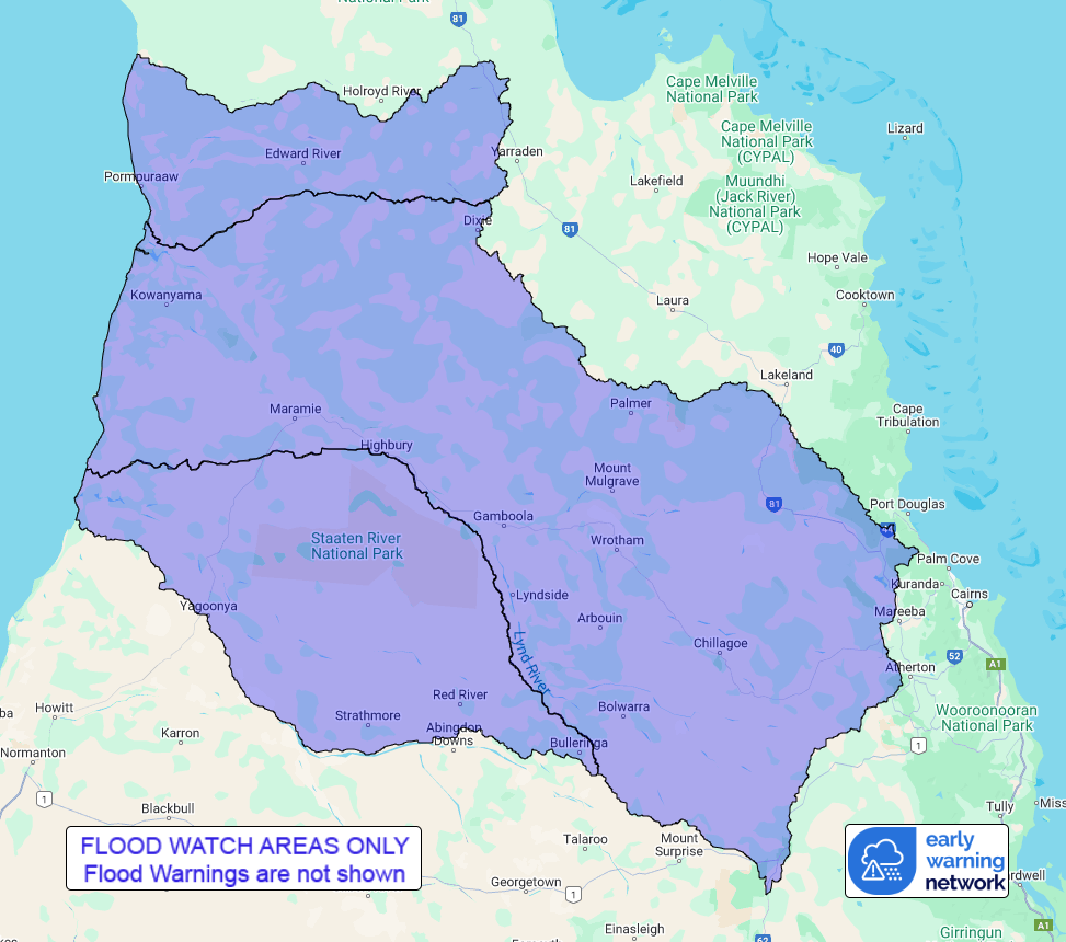
Flood Watch Number: 24
FURTHER FLOODING IS POSSIBLE IN PARTS OF THE WESTERN CAPE YORK
PENINSULA CATCHMENTS OVER THE NEXT FEW DAYS
Showers and thunderstorms are forecast to increase over northern
Queensland over the next few days, with moderate rainfall totals
possible locally in parts of the Flood Watch area.
Catchments across the Flood Watch area are very wet from recent
rainfall and will respond quickly to further rainfall. Renewed
river and creek rises are possible.
Elevated river levels and areas of flooding are occurring across
the Flood Watch area, particularly in lower parts of the
catchments. Major flooding is rising along Magnificent Creek at
Kowanyama, where further small river level rises are possible early
this week as upstream floodwater arrives.
Tides are no longer elevated in coastal parts of the Flood Watch
area.
Isolation of communities and disruption to transport routes is
occurring and expected to continue over the next few days.
Catchments likely to be affected include:
Coleman and Edward Rivers
Mitchell River(Including Magnificent Creek)
Staaten River
See www.bom.gov.au/qld/warnings to view the current flood, weather
and cyclone products for Queensland.
For more information on the Flood Watch Service:
http://www.bom.gov.au/water/floods/floodWarningServices.html
Flood Safety Advice:
This Flood Watch means that people living or working along rivers
and creeks should monitor the latest weather forecasts and
warnings.
Remember: If it's flooded, forget it.
For flood emergency assistance contact the SES on 132 500.
For life threatening emergencies, call Triple Zero (000)
immediately.
Current emergency information is available at
www.qld.gov.au/alerts.
This advice is also available by dialling 1300 659 219 at a low
call cost of 27.5 cents, more from mobile, public and satellite
phones.
Warning, rainfall and river information are available at
www.bom.gov.au/qld/flood/
Rainfall and River
Conditions Map
17/Feb/2025 02:16 AM

