
Source: Bureau of Meteorology
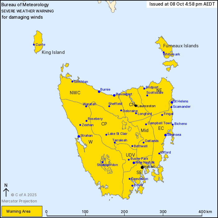
For people in King Island, Furneaux Islands, Western, Upper
Derwent Valley, South East, North East, East Coast, North West
Coast, Central North, Central Plateau and Midlands Forecast
Districts.
Issued at 4:58 pm Wednesday, 8 October 2025.
Vigorous cold front to bring widespread damaging winds on
Friday.
Weather Situation: A cold front is expected to cross the state on
Thursday bringing gusty conditions. However, a much more vigorous
frontal system is expected to cross on Friday bringing widespread
damaging winds, particularly with showers and thunderstorms.
Conditions are expected to gradually ease into Friday evening, but
will remain gusty.
For KING ISLAND and WESTERN COASTAL TASMANIA: DAMAGING WINDS
averaging 65 to 75 km/h with peak gusts around 120 km/h are likely
from early Friday morning.
For NORTHERN COASTAL TASMANIA and the FURNEAUX ISLANDS: DAMAGING
WINDS averaging 60 to 70 km/h with peak gusts around 110 km/h are
likely about the northwest coast from around sunrise Friday,
extending eastwards during the day.
For the REMAINDER including HOBART and LAUNCESTON: DAMAGING WINDS
averaging 55 to 65 km/h with peak gusts around 100 km/h are likely
from around sunrise Friday. For elevated and exposed areas,
DAMAGING WINDS may average 70 to 80 km/h with peak gusts around 120
km/h.
Locations which may be affected include Devonport, Burnie,
Launceston, St Helens, Swansea, Strahan, New Norfolk, Hobart,
Currie, Smithton, Oatlands and Scottsdale.
The State Emergency Service advises that people should:
* Supervise children closely.
* Check that family and neighbours are aware of warnings.
* Manage pets and livestock.
* Secure outdoor items including furniture and play
equipment.
* Be prepared in case of power outages and report any outages to
TasNetworks on 132 004.
* Beware of damaged trees and power lines and take care when
driving.
* Listen to the ABC radio or check www.ses.tas.gov.au for further
advice.
* For emergency assistance contact the SES on 132500.
08/Oct/2025 06:03 AM


