
Source: Bureau of Meteorology
Issued at 9:52 am WST on Saturday 8 February 2025
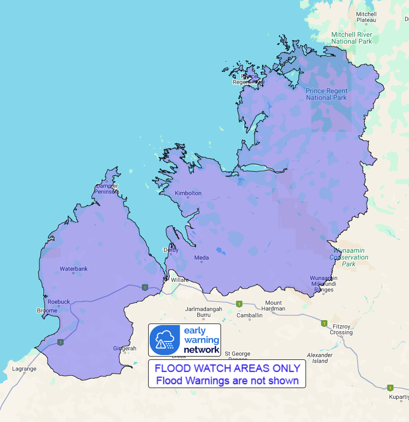
Flood Watch Number: 1
FLOODING POSSIBLE FOR THE WEST KIMBERLEY COASTAL RIVERS FROM LATE
SATURDAY INTO SUNDAY
A tropical low is forming near the North Kimberley coast. The low
is forecast to move southwest off the Kimberley coast and develop,
possibly reaching cyclone intensity later Sunday or Monday.
Catchments across the Flood Watch area, particularly towards the
coast, have become wet with recent rainfall.
Widespread daily rainfall totals of 30-60 mm are forecast for
Sunday around the Kimberley coast with isolated higher totals
possible. Higher daily totals are possible early next week
depending on the development and track of the low.
Forecast rainfall in the flood watch area is expected to result in
river rises, areas of flooding and may adversely affect road
conditions. Roads may become impassable and some communities may
become isolated.
Catchments likely to be affected include:
West Kimberley Rivers
This flood watch is available by dialling 1300 659 213. For more
information on the Flood Watch Service visit
http://www.bom.gov.au/water/floods/floodWarningServices.shtml
Flood Safety Advice:
DFES advises people and communities to be aware that flooding is
possible and be prepared to relocate equipment and livestock. Watch
water levels. Travellers need to be aware that road conditions may
be adversely affected and travel plans may need to be reconsidered.
Do not drive into water of unknown depth and velocity.
Community information is available from DFES at
www.emergency.wa.gov.au/
Current river levels are available from Department of Water and
Environmental Regulation at
www.water.wa.gov.au/maps-and-data/monitoring/river-level-monitoring
Rainfall and River
Conditions Map
08/Feb/2025 02:01 AM

