
Source: Bureau of Meteorology
Issued at 10:31 am CST on Sunday 30 March 2025
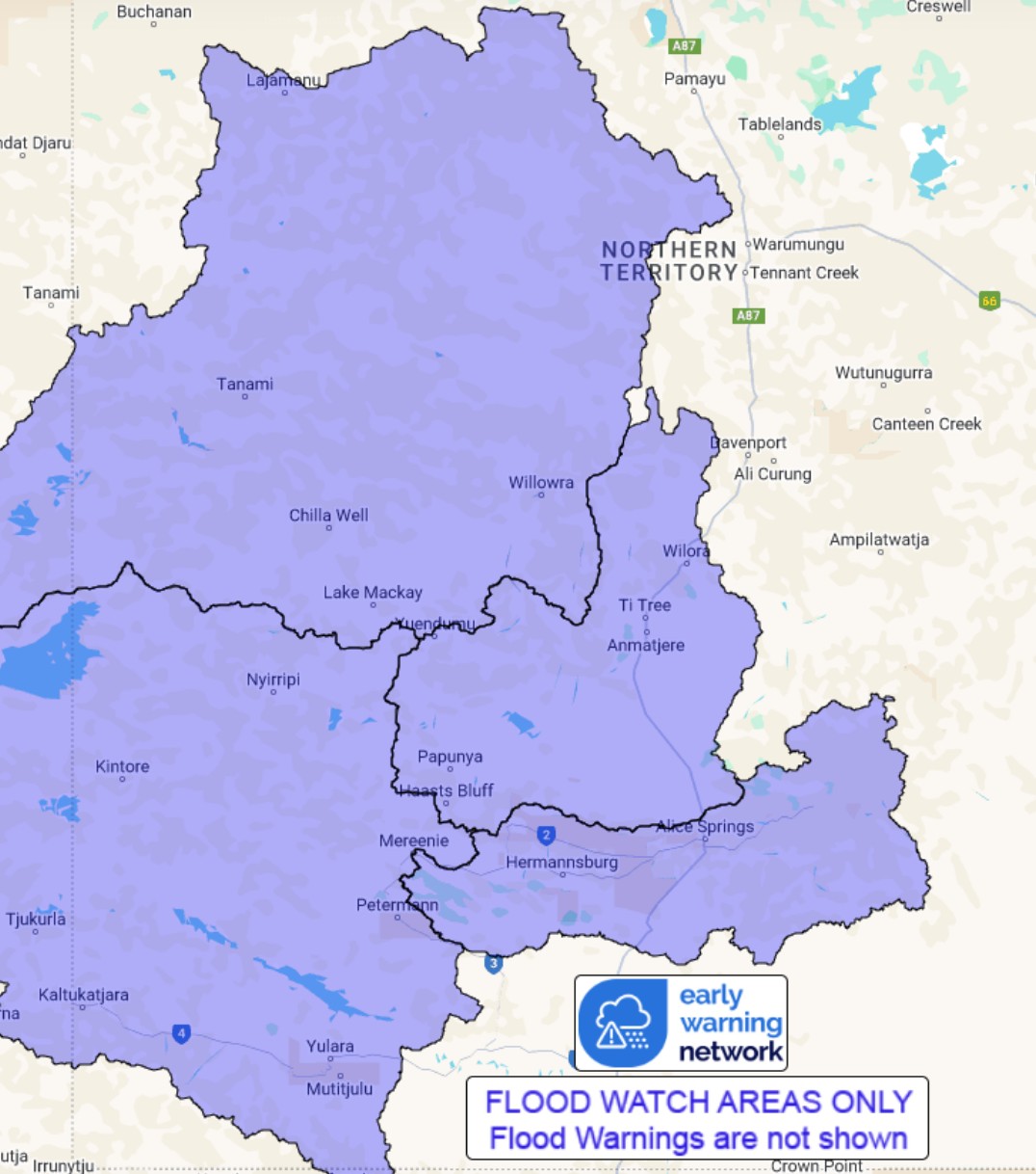
Flood Watch Number: 3
RIVER AND CREEK LEVEL RISES AND LOCALISED FLOODING POSSIBLE ACROSS
THE FLOOD WATCH AREA FROM SUNDAY INTO MONDAY
Ex-Tropical Cyclone Dianne is over the interior of Western
Australia, and is forecast to move towards the Northern Territory.
This will lead to an increase in thunderstorms and rainfall across
the Flood Watch area from today, with rainfall increasing during
Monday.
Catchments in the Flood Watch area are generally dry.
Moderate to heavy falls are likely within the Flood Watch area
from Sunday evening. Widespread daily rainfall totals of between
15-70 mm are likely, with isolated daily falls of 70-100 mm
possible.
Significant river, creek, and stream level rises are likely with
heavy rainfall, as well as overland inundation and areas of
localised flooding across the Flood Watch area.
Many roads, including secondary highways, may be affected. Some
communities and homesteads may become isolated. Check road
conditions before travelling.
Catchments likely to be affected include:
Tanami Desert
Central Desert
Western Desert
MacDonnell Ranges
See www.bom.gov.au/australia/warnings to view all of the Bureau's
current warning products.
More information on the Flood Watch Service and maps of Flood
Watch areas are available at
www.bom.gov.au/australia/flood/knowledge-centre/about-warning-service.shtml
.
Flood Safety Advice:
The Northern Territory Emergency Service advises that people
should:
* Stay away from flooded drains, rivers, streams and
waterways.
* Prepare for flooding and move away while safe to do so.
* Don't drive into floodwaters.
For emergency help in floods, storms and cyclones call 132
500.
Emergency information is available at www.securent.nt.gov.au
.
The latest road conditions are available at
www.roadreport.nt.gov.au .
Rainfall and River
Conditions Map
30/Mar/2025 01:20 AM

