
Source: Bureau of Meteorology
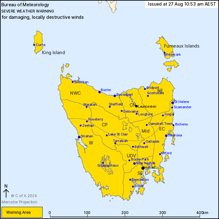
For people in King Island, Furneaux Islands, Western, Upper
Derwent Valley, South East, North East, East Coast, North West
Coast, Central North, Central Plateau and Midlands Forecast
Districts.
Issued at 10:53 am Tuesday, 27 August 2024.
DAMAGING TO LOCALLY DESTRUCTIVE WINDS DEVELOPING FROM THIS
MORNING.
Weather Situation: A cold front forecast to cross Tasmania this
evening is expected to bring very strong northwesterly winds across
Tasmania today and westerly winds tomorrow.
For Northern Tasmania: DAMAGING NORTHWESTERLY WINDS, averaging 60
to 70 km/h with peak gusts of around 100 km/h are likely to develop
by the early afternoon.
For western, southern, and eastern Tasmania: DAMAGING
NORTHWESTERLY WINDS, averaging 60 to 70 km/h with peak gusts of
around 110 km/h are expected to develop and continue this morning.
Locally DESTRUCTIVE NORTHWESTERLY WINDS, averaging 60 to 80 km/h
with peak gusts in excess of 125 km/h are likely about elevated
terrain and are possible about parts of the East Coast between
Swansea and Orford until tonight.
Winds are expected to ease about southern and eastern areas, and
DESTRUCTIVE WINDS are expected to cease, tonight behind the cold
front.
DAMAGING WESTERLY WINDS averaging 60 to 70 km/h with peak gusts of
around 100 km/h are expected to continue about western and northern
coasts during Wednesday.
Locations which may be affected include Devonport, Burnie,
Launceston, St Helens, Swansea, Strahan, New Norfolk and
Hobart.
The State Emergency Service advises that people should:
* Supervise children closely.
* Check that family and neighbours are aware of warnings.
* Manage pets and livestock.
* Secure outdoor items including furniture and play
equipment.
* Be prepared in case of power outages and report any outages to
TasNetworks on 132 004.
* Beware of damaged trees and power lines and take care when
driving.
* Listen to the ABC radio or check www.ses.tas.gov.au for further
advice.
* For emergency assistance contact the SES on 132500.
27/Aug/2024 01:03 AM

