
Source: Bureau of Meteorology
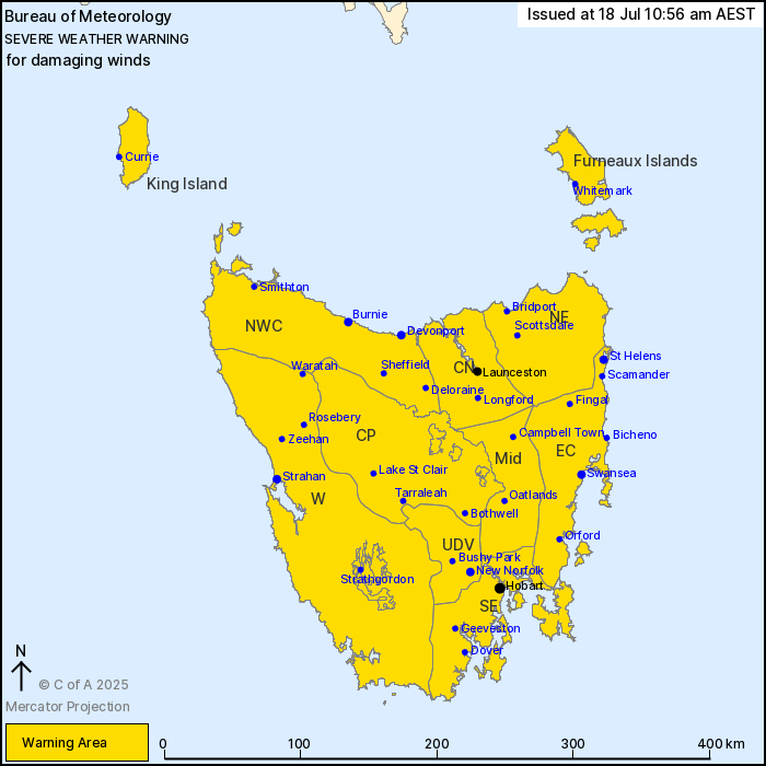
For people in King Island, Furneaux Islands, Western, Upper
Derwent Valley, South East, North East, East Coast, North West
Coast, Central North, Central Plateau and Midlands Forecast
Districts.
Issued at 10:56 am Friday, 18 July 2025.
Strong cold front to bring damaging winds to Tasmania from mid
Saturday morning.
Weather Situation: Vigorous northwesterly winds are expected to
develop ahead of a strong cold front crossing the state on
Saturday. The front is expected to reach western Tasmania in the
middle of the day, central districts by mid afternoon, before
tracking east of the state into the evening. Winds will ease and
tend westerly in its wake.
DAMAGING NORTHWESTERLY WINDS averaging 55 to 70 km/h with gusts
around 100 km/h are likely about western Tasmania from mid Saturday
morning, extending to remaining areas including Hobart and
Launceston during the afternoon. Peak wind gusts may reach 110 km/h
with showers and thunderstorms about the west and northwest coasts,
including King Island. For areas above 1000 metres including parts
of the Central Plateau and Cradle Mountain area, DAMAGING WINDS may
average 70 to 80 km/h with peak gusts up to 120 km/h.
Winds are expected to shift westerly and below warning thresholds
during Saturday evening.
Locations which may be affected include Devonport, Burnie,
Launceston, St Helens, Swansea, Strahan, New Norfolk, Hobart,
Currie, Smithton, Oatlands and Scottsdale.
The State Emergency Service advises that people should:
* Supervise children closely.
* Check that family and neighbours are aware of warnings.
* Manage pets and livestock.
* Secure outdoor items including furniture and play
equipment.
* Be prepared in case of power outages and report any outages to
TasNetworks on 132 004.
* Beware of damaged trees and power lines and take care when
driving.
* Listen to the ABC radio or check www.ses.tas.gov.au for further
advice.
* For emergency assistance contact the SES on 132500.
18/Jul/2025 01:02 AM


