
Source: Bureau of Meteorology
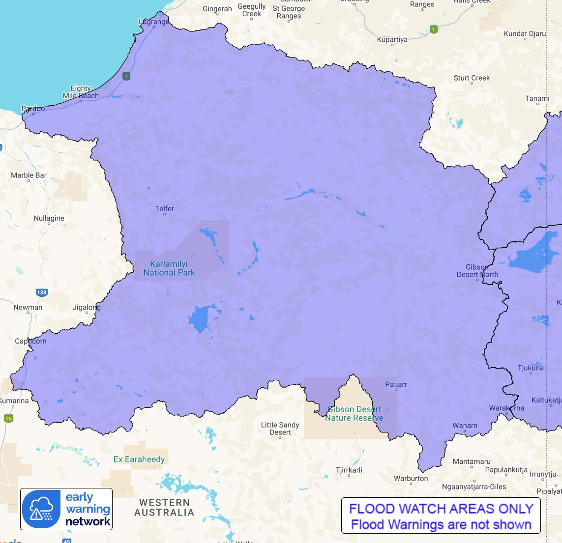
Flood Watch for Sandy, Tanami and Western Desert catchments
Issued at 12:33 pm WST on Sunday 30 March 2025
Flood Watch Number: 3
RIVER AND CREEK LEVEL RISES AND LOCALISED FLOODING LIKELY TO
CONTINUE ACROSS THE FLOOD WATCH AREA INTO MONDAY
Ex-Tropical Cyclone Dianne is expected to bring heavy rain to
parts of the Flood Watch area during Sunday and into Monday as it
moves further inland.
Catchments in the Flood Watch area are dry.
Moderate to heavy falls are likely in the Flood Watch area as
Ex-Tropical Cyclone Dianne moves inland. Significant widespread
daily rainfall totals are expected, with isolated daily totals up
to 180 mm possible.
A severe weather warning is current for the North Interior and
parts of Kimberley and South Interior districts.
Significant river, creek, and stream level rises are likely with
heavy rainfall, as well as overland inundation and areas of
localised flooding possible across the Flood Watch area.
Many roads, including secondary highways may be affected. Some
communities and homesteads may become isolated. Check road
conditions before travelling.
Catchments likely to be affected include:
Tanami Desert
Western Desert
Sandy Desert
This flood watch is available by dialling 1300 659 213. For more
information on the Flood Watch Service visit
http://www.bom.gov.au/water/floods/floodWarningServices.shtml
Flood Safety Advice:
DFES advises people and communities to be aware that flooding is
possible and be prepared to relocate equipment and livestock. Watch
water levels. Travellers need to be aware that road conditions may
be adversely affected and travel plans may need to be reconsidered.
Do not drive into water of unknown depth and velocity.
Community information is available from DFES at
www.emergency.wa.gov.au/
Current river levels are available from Department of Water and
Environmental Regulation at
www.water.wa.gov.au/maps-and-data/monitoring/river-level-monitoring
Rainfall and River
Conditions Map
30/Mar/2025 04:53 AM

